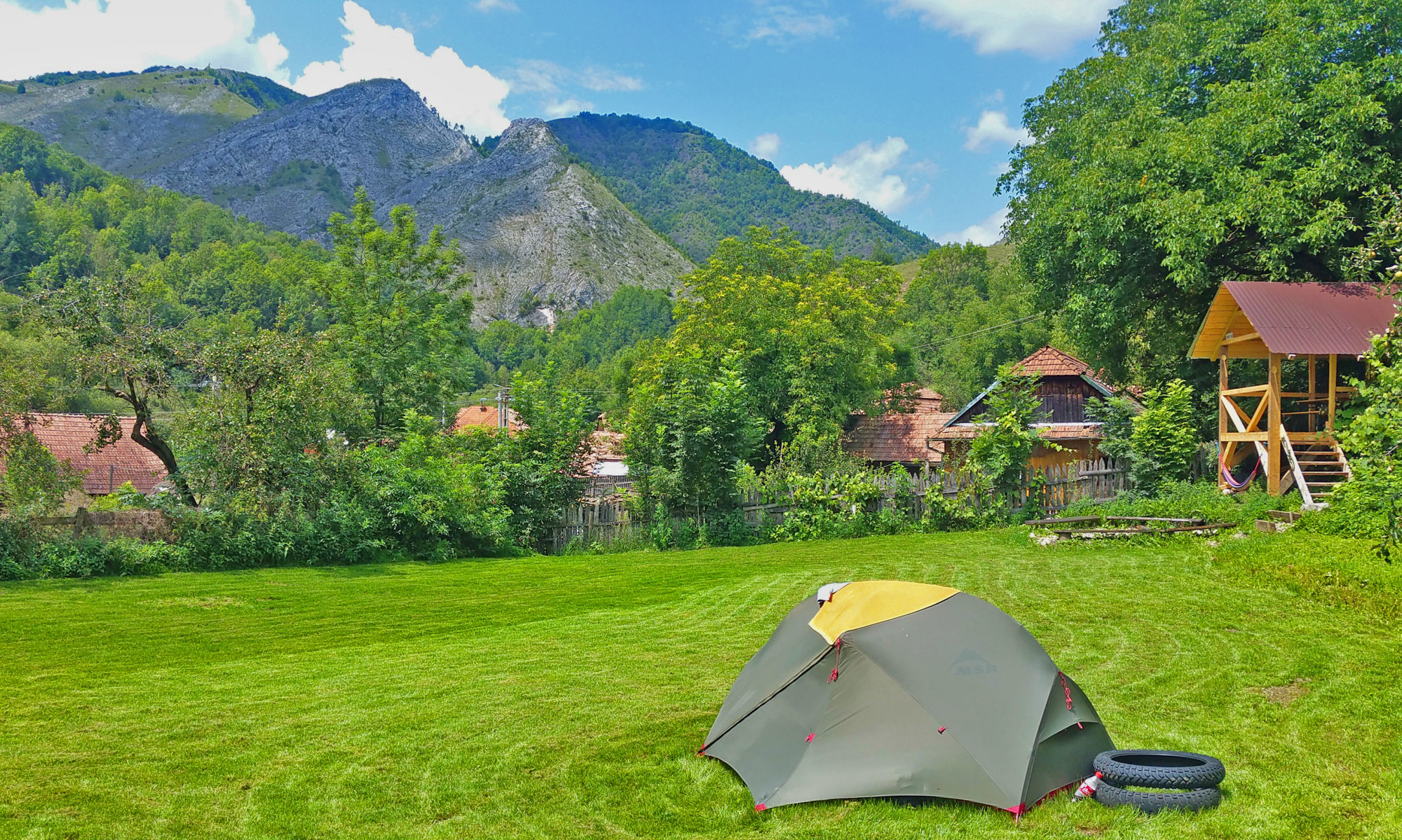

Some of the best hiking routes in the Apuseni mountains. There’s a couple of hiking trails we want to share with you. For all of them we give you a description, some photo’s, a map and a gpx file so you can use your own navigation device. Below you can read about all of them. If you choose one you can go to its individual page to see the maps and download the gpx files.
Lunca Larga Walk 10km
This is an easy walk which you can do even on a rainy day where most other tracks will get muddy. The whole track is on the asphalt and has only 185 meter of total elevation. When standing in front of our gate you take a right on the asphalt road and follow the same road for the whole trip.
You will leave the village of Runc and make your way up trough the Runcului Gorge. After 2,5km you arrive in the village of Lunca Larga of which only 33 people still call it their home. You can continue until the last house and there you have reached 5km. If you turn around there, you have made a nice 10km walk.
You can find more details like the map and the gpx file here.

Cheile Pociovalistei Walk 11km
This walk is also an easy walk without to much elevation. Most of the track is a forest road. There’s a total elevation of 334 meters. When you stand in front of our gate you take a left on the Asphalt road. After 400 meters you take a right and start to follow the blue triangle. From here you pass the last few houses of the village before you walk into the forest.
The road will go through the Pociovalistei Gorge. After 5,5km you get to the end of the forest road. From here you can turn around and walk back so you finish the 11km walk when you get back. If you continue the blue triangle route you get to Scarita Belioara which is another route of its own.
You can find more details like the map and the gpx file here.

Lion King Rock
This track will get you up on the hills without climbing to crazy heights. The Lion King Rock towers out above its surroundings. When you climb it you get an amazing 360view. When you stand in front of our gate you take a right on the asphalt and follow the road for 500 meters. After you pass the last barn you take a cow track up in the hills (don’t let you stop by a fence).
Once you reach the grassland you should wonder a bit to your left to enjoy the scenery of the Runcului Gorge. From there you see the Lion King Rock on your right and you can make your way over to it. You can climb it from the back and enjoy the well earned spectacle from its peak. After that you can climb down and find a track that brings you back to the village. There’s more of them so you can choose.
You can find more details like the map and the gpx file here.

Tâlve
The highest from the 3 peaks that you can see from the campsite. To get to this peak you have to cross the stream on the small footbridge. A little bit upstream you take the cow track on your left side between two abandoned houses. From here you find your way up until you reach some grassland.
On the grassland you walk all the way over to where the rocky slopes start. You want to climb the rocks at the furthest point possible, otherwise they are to steep. From here you keep climbing until you reach the summit. On top is a real nice plateau where where you can catch your breath and enjoy the views. After that you can come down the same way.
You can find more details like the map and the gpx file here.

Scarita Belioara
The moste epic hiking trail of the area. Scarita is the highest peak in our Area with stunning limestone cliffs. On a clear day you can sometimes see all of Romania’s mountainpeaks from the summit. When you stand in front of our gate you go down on the asphalt road for 400 meters. There you take a right and you will follow the blue triangle markings all the way to the top.
The first 4,5 km are on an easy forest road. After that you take a right and start walking along a small stream. The markings will take you left and soon after you leave the stream and come to the base of Scarita’s rock formation. Here you take a right and the markings will join the red-dot-markings. From here there’s a climb until you reach the top. Take a look around when your ascending as the views are spectaculair even from here. On top the track will lead you all over Scarita’s plateau until you reach the most spectaculair viewpoint of the area.
Once you’ve soaked in enough of its beauty you can continue your way untill you find the blue-cross-markings. These go left and right, but we follow the rightside ones. They take you down through a steep meadow untill you reach a forest road. The road doubles as a stream so the first kilometer is challenging. After that it gets easier and you continue down the road towards civilization. The first houses you reach are those of Lunca Larga. From there it’s another 4km on the asphalt through Runcului Gorge until you reach Tara Nomada again.
The whole trip is about 19,km and has 927 meters elevation. You can find more details like the map and the gpx file here.

Zapodie
Zapodie is the place where our neighbors used to go in summer with their cattle. They all had hay-roofed wooden barns there of which some are still standing and a few are still in use. The round trip is a long 24km, but you can also skip 12 of them if you take the car to the next village and leave it at the end of the asphalt road.
You start up the asphalt through the Runcului Gorge, through Lunca Larga untill you pass the last house and the asphalt road goes on as an unpaved forest road. Soon after that there’s a fork in the road where you pick the right one. This way will take you through the forest until you reach the high grasslands. There you keep going until there’s some crossroads and you take the left, leading down to the picturesque Zapodie where you find a lot of the barns still standing. After you soaked up the beauty of this ancient place you continue the track down and left until you enter the forest again. This road will bring you back to Lunca Larga and from there you can find your way back to Tara Nomada again.
You can find more details like the map and the gpx file here.

Vârfuiata
This route will bring you to the big cross that stands on the hill above Ocolis. If you stand at the hostel and look in Southern direction, you can see the big Cross (it looks very small from here) just above Runc’s church tower. This walk is great for a sunny winter day as there’s nothing to block the sun on this trip.
From our gate you follow the dirt road that leads to our campsite. Follow it past our house and take a left up on the hill direct after our neighbors’ house. Here you have to make your way all the way up on this hill. It helps a lot of you can follow the gpx file. You will have to climb over two fences. Once you get to the top of our hill you find a road that takes you towards Vârfuiata. On the left you can look down in Ocolisel and on the right side you can see Ocolis and Runc.
You follow the road until you get very close to the last big climb towards the big cross. Then you take a cowtrack to the right and follow it past a cows drinking spot. Here you keep on one of the many cowtracks that go up until you reach the cross. From here you have an amazing overview of the whole area. On your way back you follow the same route.
The whole hike is 9,6 km with an elevation of 720 meters. You can find more details and the map here.

Poarta Zmeilor
For this hike you have to take the car for 16 km to the starting point in Salciua de Jos. You can park the car next to a suspended footbridge over the Aries. You cross the bridge and pass the last houses of the village. Then you come up in some fields and go through a bit of forest where you will follow the red cross markings. About half way you reach the Sipote Waterfalls which are really stunning.
After that you can continue the climb while following the red cross. It is a bit of a climb, but on the top awaits to really nice rewards. One is a balcony on the highest point which will give you an amazing panoramaview. The second reward is a cave. It has a small entrance, but if you bring a flashlight you can go in and explore the cave. After the small entrance the cave gets bigger and you can walk around for about a hundred meters. Once you’ve had enough you can retrace your steps and make your way down to the car.
The whole hike is about 11 km with 750 meters of elevation. You can find more details like the map and the gpx file here.
