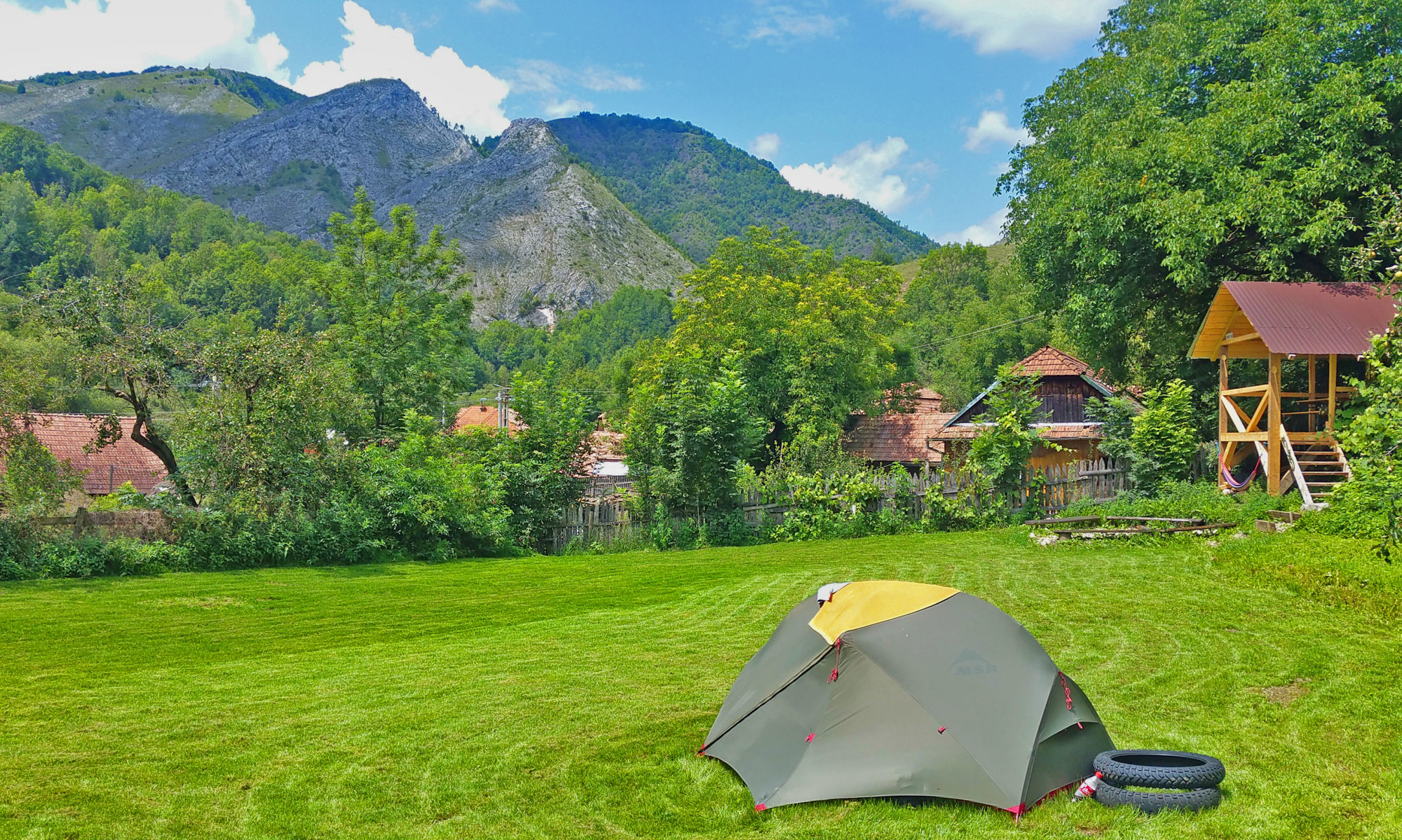

The most epic hiking trail of the area. Scarita is the highest peak in our Area with stunning limestone cliffs. On a clear day you can sometimes see all of Romania’s mountain peaks from the summit. When you stand in front of our gate you go down on the asphalt road for 400 meters. There you take a right and you will follow the blue triangle markings all the way to the top.

The first 4,5 km are on an easy forest road. After that you take a right and start walking along a small stream. The markings will take you left and soon after you leave the stream and come to the base of Scarita’s rock formation. Here you take a right and the markings will join the red-dot-markings. From here there’s a climb until you reach the top. Take a look around when your ascending as the views are spectaculair even from here. On top the track will lead you all over Scarita’s plateau until you reach the most spectaculair viewpoint of the area.

Once you’ve soaked in enough of its beauty you can continue your way untill you find the blue-cross-markings. These go left and right, but we follow the rightside ones. They take you down through a steep meadow untill you reach a forest road. The road doubles as a stream so the first kilometer is challenging. After that it gets easier and you continue down the road towards civilization. The first houses you reach are those of Lunca Larga. From there it’s another 4km on the asphalt through Runcului Gorge until you reach Tara Nomada again.

The whole trip is about 19,8km and has 927 meters elevation.
Total climbing: 927 m